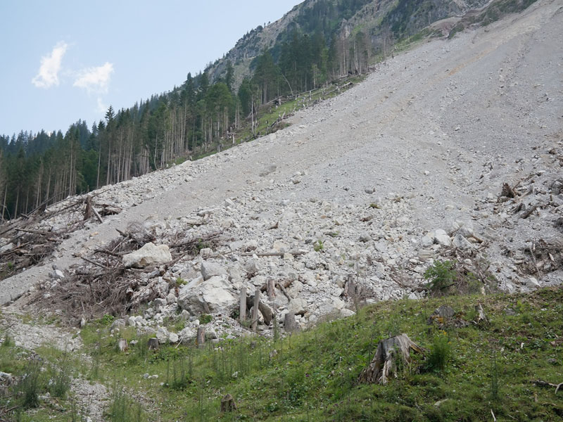
After accusations from other political parties and the mass population, IIRS (Indian Institute of Remote Sensing) carried out studies and reports showing those landslide incidents are not related to commissioned/under-construction hydro-power projects.
In Gist:
● Areas of Study: The Indian Institute of Remote Sensing (IIRS) carried out the study in 9 NHPC Power Projects -Teesta V & Rangit in Sikkim; Salal, Dulhasti, Uri II in Jammu & Kashmir, Subansiri lower in Arunachal Pradesh, Dhauliganga in Uttarakhand and Chamera I and Parbat II in Himachal Pradesh.
● The study involved the preparation of landslide inventory maps 10 years before the start of the project up to the current status of the power station. The report says that in most cases, the landslide area decreased significantly compared to the landslide area before the construction of the project.
● The study conducted by IIRS, Dehradun revealed that the occurrence of the landslides is not due to the construction of the projects but the topography, geographical conditions, and rainfall. They are the main causative agents of landslides.
References:
https://pixabay.com/photos/rubble-stones-rock-fall-landslide-2100451/
https://byjus.com/free-ias-prep/upsc-pib-summary-analysis-apr05-2023/


